
Use the Hingham Street Directory, Address by Address
A street-by-street search starts with the property rather than a broad list of names. Hingham's assessment database supplies the modern parcel anchor, and the public map supplies the physical context. From there, Plymouth County land records can document transfers, while the Town Clerk's annual list can provide a separate, dated resident clue. An owner named in an assessment record, a party to a deed, and a person listed at an address are different relationships, so keep the source and its date beside every result.
For a modern address, work in this order. Write down the address exactly as searched and do not assume a mailing address is the same as the location of the parcel. The sequence narrows the question before it reaches a historical source.
- Search the address in Hingham's assessment database and record the parcel ID and situs address.
- Open the parcel in Mapsonline to compare its polygon, frontage, building outline, and municipal layers.
- Use the owner name, deed reference, or parcel clues in Plymouth TitleView to find the recorded land trail.
- For a particular year, ask the Town Clerk about the annual street list rather than treating a state verifier as a street browse.
- Use historic street sections and related local records when the goal is an earlier household or a former road name.
Hingham Street Directory Searches in the Vision Database
Hingham Assessment Data directs users to the Vision Government Solutions database. Its current FY2026 values use names and addresses as of January 1, 2025. Enter an owner name or a street address, with only one needed to begin. If a street type is uncertain, Hingham advises omitting it. If spelling is uncertain, use the first three or four letters before selecting the result by parcel ID.
| Vision search field | How to enter it | Street-search use |
|---|---|---|
| Owner name | Text; use a short beginning when spelling is uncertain. | Finds an assessed ownership record without a full address. |
| Street address | Text; omit the street type if it is uncertain. | Provides the first property match for a Hingham address. |
| Parcel ID | Selected from a result; Hingham uses town code, map, and lot or key components. | Creates a stable identifier for map and municipal follow-up. |
| Property summary | Open from the parcel result. | Supplies assessment and parcel context; verify live fields before relying on them. |
The Assessor's office is at 210 Central Street and can be reached at 781-741-1455. The assessment record is a useful property connection, but it is not the recorded instrument that establishes a transfer. Carry the parcel ID forward instead of treating a name match alone as a complete answer.
The Hingham Vision assessment search is the source shown below.
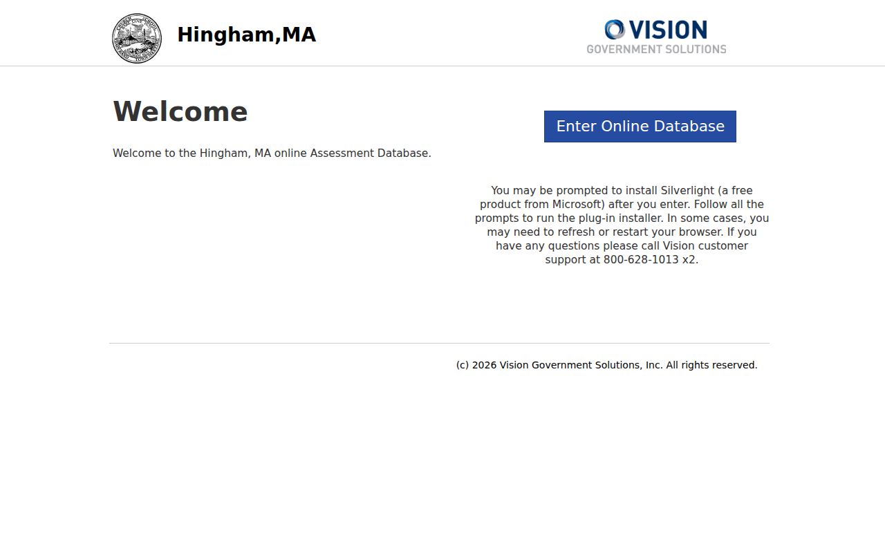
Its owner and address entry choices illustrate why a short, careful address query is often more productive than guessing at a full street spelling.
Hingham Street Directory Parcels in Mapsonline
After finding a parcel, open the town's GIS Map page and continue to Mapsonline. The public viewer identifies parcel boundaries, building outlines, zoning districts, flood plains, and historic districts. These layers help distinguish a parcel that fronts the named street from a corner or rear parcel that merely has a nearby number.
The town describes its map as informational. It is not a survey, legal description, or final zoning determination. Use it to compare the parcel shape and street frontage, then keep the assessor parcel ID and move to the Registry if the question concerns a recorded transfer.
The Hingham Mapsonline viewer is shown with the map-based route used in this Hingham street directory workflow.
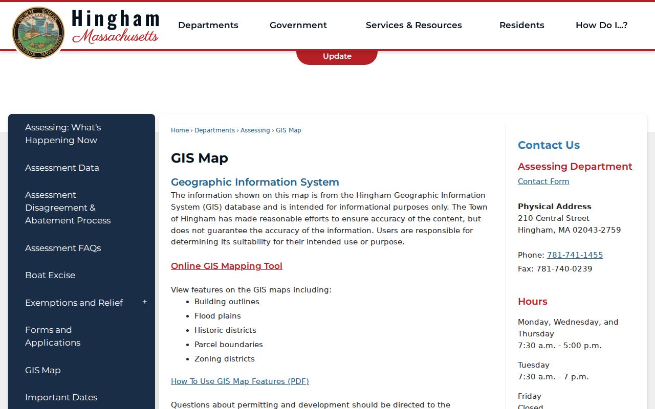
The map is especially helpful before comparing several addresses on one block because it separates parcel adjacency from a simple run of street numbers.
Hingham Street Directory Records That Follow an Address
No one source is a complete roll of everyone connected with a street. The Hingham street directory process instead joins records with different dates and purposes. The table below identifies the documented address-based layers and the access limits that matter when comparing them.
| Address record set | Coverage and search key | What it adds | Access route |
|---|---|---|---|
| Assessment database | FY2026; names and addresses as of January 1, 2025; owner or street. | Assessed owner, value context, and parcel ID. | Vision database or Assessor. |
| GIS map | Current public layers; parcel or address map click. | Parcel polygon, building outline, zoning, flood, and historic context. | Town Mapsonline viewer. |
| Deeds and plans | Books and indexes from 1686 to present; party, date, book, document, property, or plan. | Recorded transfers, plans, liens, easements, and identifiers. | Plymouth TitleView and Registry copy routes. |
| Building permits | Online 2010 to present, with possible gaps from 2010 through 2016; street or permit search. | Posted address, date, description, applicant, inspections, and sign-offs where available. | Online search or Building Department files. |
| Annual street list | As of January 1; street-list request. | Name, address, age, and occupation for residents age 17 and older. | Town Clerk, published list route. |
| Historic directory material | Street or surname; documented Hingham runs from 1885 through the later street index. | Earlier household, business, and street clues. | Library, State Library, and local-history sources. |
For a date-sensitive search, treat every row as a separate observation. The annual street list is a January 1 municipal listing, while an assessment record, permit, or deed may reflect a different point in the property's history. That is why a disagreement should lead to a date check, not an unsupported conclusion.
Hingham Street Directory Permit Files by Address
The Building Department's online permit route covers building, plumbing, gas, electrical, and sheet-metal applications. The public existing-permit search can also expose posted inspection and sign-off information, with document uploads and payment functions part of the broader application process. It is useful for dating activity at an address, but a permit applicant can be an architect, contractor, owner, or another party, so the name should be labeled by role.
Hingham says the online permit listing begins in 2010 and may be incomplete for 2010 through 2016. Street files reaching into the early 1980s are held by the Building Department during business hours, and older archived material can take staff time to retrieve. That counter route matters when a web search is blank.
Hingham's permit application and search page is the source for the online route.
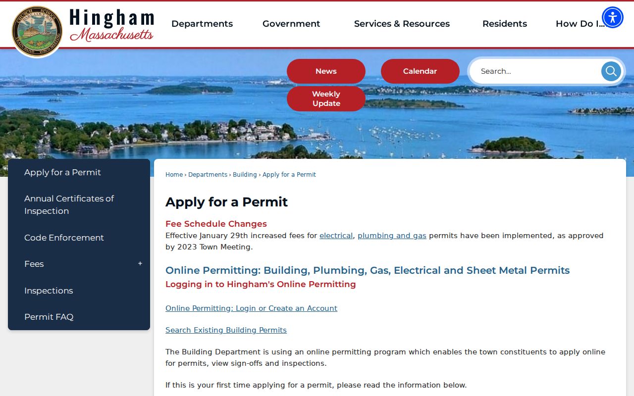
The page connects an address search to permits and inspections, while the coverage warning preserves the need to check older street files separately.
Hingham Street Directory Deed Trail in TitleView
Plymouth County's TitleView is the recorded-land route after the property has a parcel or owner anchor. The Registry reports deed books from 1686 to the present and grantor and grantee indexes from 1686 to the present. TitleView's visible search choices include Business or Name, Party Type, Like, Compressed, Register, document type, Towns, and recorded-date fields, with Recorded Land, Registered Land, Plans, and other search modes.
Search the current owner in both grantor and grantee roles, then capture the book and page or document number, recorded date, document type, parties, and any plan reference. A deed can describe a lot, a plan, abutters, or an old road name instead of the modern street number. The Registry's Hingham plan index covers 1890 through 1965 and can bridge a parcel when a current address does not appear in older land language.
Older indexes require extra care. The Registry warns that pre-1970 grantor and pre-1960 grantee indexes are unedited, so a short name search and an original or printed index check can be necessary. Search less text for spelling variants before deciding there is no record.
For a series of addresses, keep the parcel ID, party name, recording date, book and page or document number, and plan reference in one research note. That lets a later reader distinguish the assessor's current property connection from the chain of recorded instruments. It also makes a Registry copy request much more specific.
TitleView's Free Search and Paid Printing
TitleView makes recorded-land searching and viewing available without charge, but remote printing is not the same as viewing. The documented home or office printing arrangement requires a $30 monthly account, $1 per page, and a $60 deposit, or the researcher can use an official copy route. Record the book, page, or document number before ordering so the request is precise.
This difference is worth knowing before a long address-history project. A free result screen can identify the next instrument, while a copy or Registry visit may be the practical way to preserve the document image needed for careful comparison.
The Clerk's Annual Street List, Dated January 1
The Town Clerk's annual street list is Hingham's local, year-specific municipal route. Under M.G.L. c.51 §4, the listing is taken as of January 1. The form is used to update a resident's name, address, age, and occupation, and the published Annual Street List includes residents age 17 and older. It is published in late spring, and the Clerk sells the street-list book for $20.
Request the relevant year or ask the Clerk how to use the local public-list route at Town Hall, 210 Central Street. Do not substitute the Massachusetts voter-status verifier for a streetwide search. That verifier is designed for an individual with a supplied first name, last name, date of birth, ZIP code, and agreement to its terms. Confidential voters are excluded from public lists, and a protected address must not be pursued.
The annual list is stronger as a dated municipal observation than as a claim of continuous occupancy. Compare its January 1 date with the assessment year, a deed recording date, and any permit date before describing how a connection to the address changed over time.
Old Hingham Road Names in Address Research
Historical Hingham street research can fail when a modern road name is applied to an older source. Harbor history identifies Town Street as today's North Street and Broad Cove Lane as today's Lincoln Street. These are name changes to test when a deed, street listing, directory, plan, or newspaper search produces a gap. They are not evidence of a townwide renumbering.
- Parcel
- A specific assessed property unit, identified in Hingham by a parcel ID that can link the assessment record to map and deed research.
- Situs address
- The property's physical location used by assessor and GIS records. It can differ from the address where an owner receives tax correspondence.
- Plat or recorded plan
- A filed map or plan that can identify lots, streets, boundaries, or abutters when a deed does not use the current street number.
- Criss-cross directory
- The street-order part of a historical directory, useful for checking the addresses listed along a road in a particular publication year.
For the historic directory shelf and its documented Hingham year runs, use the Hingham city directories page after the modern parcel and road-name questions are settled.
What Address Records Cannot Establish
A street search cannot prove every connection to an address. The assessor identifies an assessed property relationship, a deed identifies recorded parties, and a municipal list or directory gives a dated listing. Tax mailing information is correspondence routing, not proof of who is at the situs. Dates, source roles, and the possibility of changed streets or parcels need to remain visible in the notes.
Lawful personal use. Use Hingham address records for lawful personal research, property history, family history, or civic questions. Do not use them to stalk, harass, intimidate, or harm anyone, and do not try to uncover a confidential voter address.
When the online trail ends, the documented fallback is the relevant custodian: the Assessor for assessment questions, the Building Department for older permit files, the Town Clerk for annual lists, and the Plymouth Registry for land-record copies or early-index help.